DARPA Modifies Military Equipment to be Used by Firefighters


Painful recollections of the tragic deaths of the 19 firemen who perished last year battling a forest fire in Yarnell, Arizona, remained all too vivid in the memory of Prescott, Arizona, Fire Division Chief Don Devendorf as he observed a few weeks ago how technology developed for the U.S. military might help in saving the lives of firefighters battling wildfires. If the new technology can save even one life, he says, he’s all in favor of it.
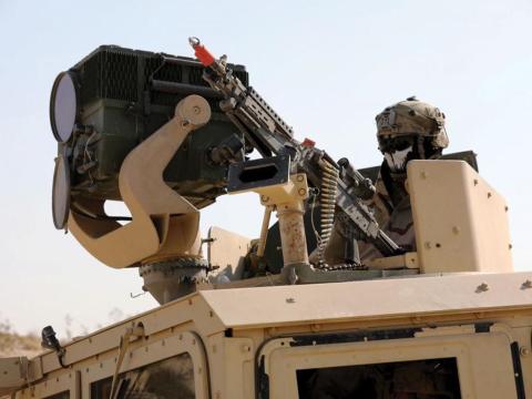
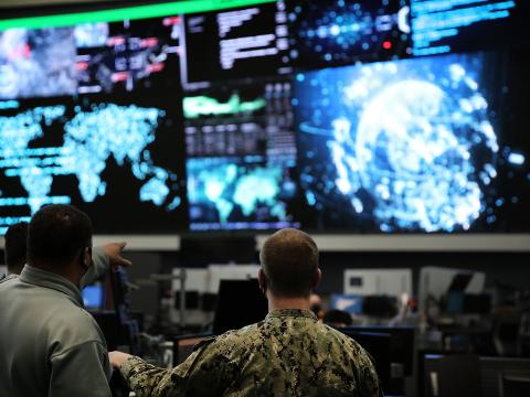
In late May, firefighters in Arizona tested the same tracking technology that gives U.S. military commanders real-time, constant situational awareness of troops on a battlefield. Developed by the Defense Advanced Research Projects Agency (DARPA), engineers modified the Persistent Close Air Support (PCAS) program, originally intended to rapidly deploy ordnance and provide close air support for ground forces against elusive mobile targets while safely coordinating friendly troop positions, officials say.
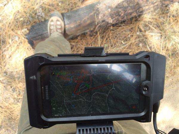
The prototype Fire Line Advanced Situational Awareness for Handhelds (FLASH) aims to fill a void for firefighters caused by a lack of advanced technology because of legacy communication systems and traditional paper maps. It is supposed to improve effectiveness and safety by giving them real-time situational awareness of every firefighter and aircraft battling wildfires. Sensors emit location data and the information is overlaid onto a digital map displayed on a ruggedized tablet computer. “FLASH offers similar situational awareness capabilities as military products, but with a feature set and interface customized for the fire and emergency response community,” such as iconology for fire trucks, safety zones, water sources or emergency vehicles, says program manager Dan Patt.
In Late May, DARPA officials showcased FLASH for firefighters in Prescott. “We’re leveraging ongoing DARPA investments initially aimed at warfighters to help firefighters coordinate their efforts in ways we believe can increase firefighting effectiveness, as well as firefighting safety,” Patt says.
The technology should prove to be a decisive change for the better at a rather reasonable cost, Devendorf says. “It’s going to be a huge change in the way we do business, … and a change for the better based on the fact that we would have the ability to know where every firefighter is.” Roughly $10,000 would buy a kit that could be used by a 20-person crew, he says.
The change would be seamless for firefighters on the ground, Devendorf says, but more pronounced for those working behind the scenes who would have to be trained on the new technology and tasked with keeping tabs on all the team members, equipment, resources and blaze conditions.
The prototype’s software uses standard firefighter and first-responder icons and users can share real-time situational awareness updates, such as fire conditions, the precise location and status of colleagues, and available resources. The software uses Global Positioning System (GPS) data and aerial visual and thermal maps. DARPA chose to showcase the technology near the site of the tragic incident in 2013 in which the 19 firefighters from the Prescott Fire Department’s Granite Mountain Hotshots died battling the Yarnell Hill wildfire. “We chose Prescott for the demo to honor the memory of the firefighters who gave their lives serving others,” says Chuck Wolf, deputy director of DARPA’s Adaptive Execution Office, which helped modify the military-centric technology for firefighters.