Flight Researchers Seek Answers to Bad Weather

As scientists sleuth to enhance U.S. military air mission capabilities through automation and alternative technologies, some in the Office of Naval Research want to find ways for aircraft—manned or unmanned—to operate in even the worst kinds of weather. Along with working on aircraft that would operate without a Global Positioning System, radar or even pilots, the experts are exploring how these vehicles could function in the most unfavorable conditions—particularly as they navigate the complex maritime role unique to the U.S. Navy of landing aircraft on moving ships.
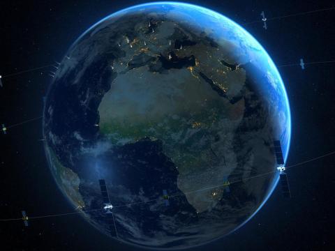
Global Positioning Systems (GPSs) today are ubiquitous, from use in private automobiles to smartphones, wristwatches and precision munitions dropped on fixed targets from miles overhead. But ubiquity does not mean a completely secure technology, and the pervasive systems are susceptible to everything from hacks, spoofs and jamming from malefactors to limitations posed by geography, oceans and even inclement weather that all too often has sidelined the U.S. military might.
In October, for example, when Pentagon spokesman Rear Adm. John Kirby, USN, was asked what kind of weather kept the United States from flying sorties to hit targets in the air campaign against the Islamic State in Iraq and the Levant (ISIL), he offered journalists a terse reply: “Bad.”
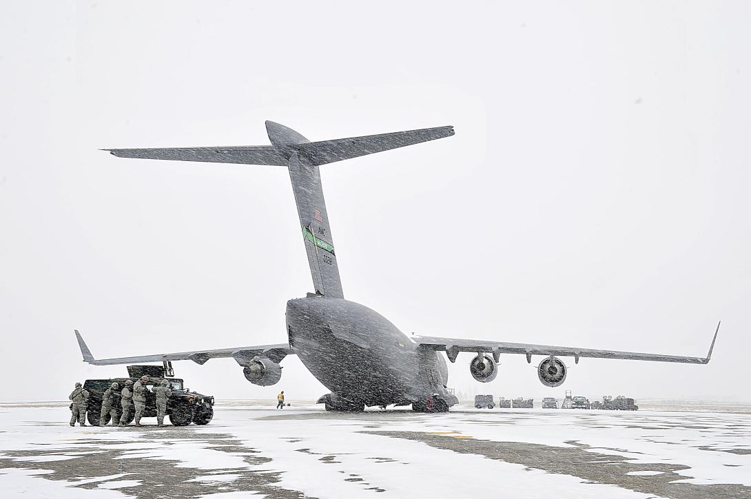
Adverse weather historically has hampered combat missions, restricting aircraft from taking to the skies or impeding the collection of intelligence, surveillance and reconnaissance (ISR) data and communications. In today’s world of advanced technology, where the United States, with its all-weather bombers and GPS-guided munitions, has air superiority over other nations, weather remains an inescapable Achilles’ heel.
While GPSs have revolutionized the way the military moves and fights, they do have limitations. GPS signals do not work underground or underwater, for example, and they can be degraded significantly during solar storms. The technology is susceptible to blocking and jamming. As such, GPSs are not the military’s sole source of positioning, navigation and timing data, and radar can leave a radiation trail that can act like crosshairs on a target to an enemy force.
“Position, navigation and timing are as essential as oxygen for our military operators,” says Arati Prabhakar, director of the Defense Advanced Research Projects Agency (DARPA). “Now we are putting new physics, new devices and new algorithms on the job so our people and our systems can break free of their reliance on GPS.”
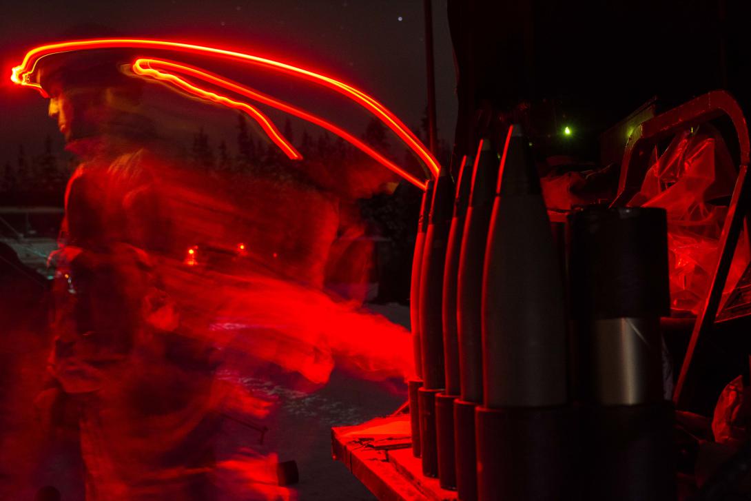
As autonomous and unmanned aerial vehicles, or UAVs, proliferate, U.S. Navy researchers work to find refined technology that would allow aircraft to take off from and land on ships at sea using precision ship-relative navigation (PS-RN) technology, particularly in environmental conditions that pose degraded visibility, says John Kinzer, research program officer with the Air Warfare and Weapons Science and Technology Department at the Office of Naval Research (ONR). “We’re pretty safe today,” Kinzer says of the U.S. Navy’s overall aircraft safety record. “But part of the price you pay to be safe is a limitation of the conditions under which you can operate. We would like to maintain our current safety record, or do better, but [operate] in more demanding conditions.”
The ONR contracted Pennsylvania-based Near Earth Autonomy to conduct sensor modeling and testing under its Sea-Based Automated Launch and Recovery System (SALRS) program for robust ship-relative navigation in degraded conditions. The 18-month effort nearing completion tests varying sensors for development of PS-RN capabilities applicable to autonomous landing and recovery operations in demanding environments, Kinzer says. “The program is looking at testing sensors in the naval environment that includes fog, snow, rain, hot, cold, humidity—all those different conditions. We’re testing a group of relevant sensors in those conditions to establish a capability baseline,” he says.
The Navy wants superlative navigational tools that would allow aircraft, both manned and unmanned, to establish their position relative to a ship deck and successfully land on the moving target without the aid of a GPS, says Near Earth Autonomy CEO Sanjiv Singh. The company is testing varying kinds of sensors, from electro-optical to the three infrared spectral bands, radio transponders, radar and Light Detection and Ranging (LiDAR) systems. “We are trying to figure out what’s possible,” Singh says.
Inclement weather with reduced visibility could prove to be a limitation of the imaging technology, Kinzer points out. “One of the shortcomings, of course, of imaging devices is getting through weather. Fog and rain and snow are going to interfere with both infrared and electro-optics. The question is what kind of capability can we have using those systems in different kinds of weather? That’s one of the big questions for us in the testing that we’re doing.”
It still is too early in the research stage for scientists to come to any conclusions as to whether the sensor technology might serve as a feasible alternative to GPS and radar, Singh says. The company built a 16-by-16-foot mock ship that moves exactly as a floating ship would and can simulate the pitches, rolls and heaves of ship flight decks.
For use across the military services, DARPA is funding development of technology to aid helicopter pilots overcome degraded visibility caused by severe weather, fog or dust kicked up during takeoffs and landings. Current sensor systems struggle with latency and are too large, heavy and power-intensive to comply with military rotary wing operations, officials say. DARPA’s Multifunction RF (MFRF) program seeks to develop multifunction sensor technology to let pilots take off, fly and land in zero-visibility conditions; avoid collisions with other aircraft, the ground or mountains, and objects such as electricity towers and buildings; and improve target detection, identification and engagement—all while fulfilling parameters that the capability be small, lightweight and efficient enough for installation on existing and future helicopters.
Officials have tested the MFRF technology on a UH-60L Black Hawk helicopter, demonstrating the portion called Synthetic Vision Avionics Backbone (SVAB) technology. This combines millimeter-wave radar with multiterrain databases and onboard platform navigation systems to create high-resolution, 2- and 3-D visualizations that pilots can refer to for information such as the type of surrounding terrain and landing zone conditions. “These successful tests take us closer to future cost-effective ‘plug-and-play’ systems that would improve situational awareness and mission effectiveness for manned and unmanned platforms alike,” says program manager Bruce Wallace. The plug-and-play feature means a software-adaptable architecture that can provide future capability without having the military services purchase new hardware.
The overall system’s goal is two-fold: equipping aircraft with sensors that will give pilots the ability to operate in brownout/whiteout conditions and providing lethality enhancements that include improved ISR capabilities for target detection and identification.
Weather implications account for one piece of the puzzle that influences commanders’ decisions on whether to launch air missions, says Col. Robert “Bruce” Mundie, USAF, combat air forces division chief at Headquarters Air Force, Operations (A-3). “There are a multitude of reasons why we may not fly a sortie. … We have to remember the risk proportionality of striking that target, human factors and the reward of risking a crew with the reward of hitting that target,” he says.
“When it comes to dealing with the weather, I kind of see three areas that are limiting factors for the Air Force and for aircraft in general,” Col. Mundie continues, citing the reasons as the effectiveness of technology, the impact missions have on human pilots and the established rules of engagement. “Technology can play a role in helping to mitigate [extreme weather conditions], but you can’t negate it all together,” Col. Mundie says. “There really is no way around that.”
“We have to look at proportionality to defeat that target. … We have all-weather bombers and have GPS-guided munitions, and that’s all well and good. We could fly that very expensive bomber, long distance, fly over the target and then drop a very expensive bomb on [a] confirmed target and then destroy that target. But depending on the priority of that target, that may not be the best way to go,” Col. Mundie offers. “It’s very expensive to fly that bomber over for a low-priority target. Proportionally speaking, we may want to use something smaller, less expensive … to take that target out—maybe a helicopter or a close air-support platform. But … a smaller aircraft will be more susceptible to weather.”
Unmanned assets “have come into vogue for a lot of very good reasons,” Col. Mundie says. A pilot is limited by his or her ability to endure long flight hours, gravitational pull or the strain and stress of executing a combat mission. Remotely piloted aircraft (RPA) can endure much longer missions than humans are able to, he says. “And to be honest with you, back to the risk/proportionality, it’s easier in my opinion for a commander to risk an unmanned asset than it would be to risk a manned asset. If that airplane was lost in the weather or lost because of other reasons, you wouldn’t lose the crew with it.”
The tumultuous effects of weather can wreak havoc inside the cockpit as much as they can on the outside, says Lt. Col. Chris Kibble, USAF, combat air forces, ISR branch chief. “Sometimes, weather can cause pilots to lose situational awareness. It doesn’t take a sandstorm or tornado to do that. It can be very benign weather that the pilot is flying in and just, well, your brain can play tricks on you,” explains Col. Kibble, who would like to see increased research on better ways pilots can avert cockpit disorientation.
One day, Col. Mundie says, he also would like to see development of an aircraft that could operate at low and high altitudes and be able to continue into space—all in one aircraft, all in one system. “I think that would be an amazing plus for the Air Force, space force and cyber force, all combined into one system,” he says. “I think it would be exactly the way the Air Force would want to go and fits in exactly with the key missions of the Air Force.”


Comments