NGA Sets Sail For Blue Water
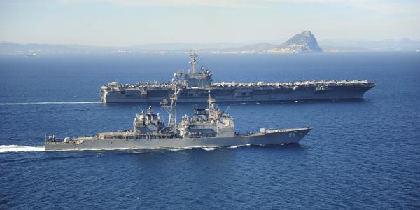
While operating at sea, even the most technologically advanced U.S. Navy vessels sometimes fail to deliver on-demand geospatial intelligence services that anyone with a smartphone on land readily can access. To help bridge intelligence gaps, the National Geospatial-Intelligence Agency has teamed with the service to augment geospatial capabilities at sea.
Keeping the Navy from drifting into a sea of woes is not helped by the continuing fiscal constraints that hamper Defense Department modernization, even as the economy rebounds from a defeating recession.
“Modernization took the brunt of the reduction,” said Mike McCord, the department’s chief financial officer, during the February rollout of the fiscal year 2017 budget request. As part of the Bipartisan Budget Act signed in November 2015, the Defense Department had to make up $22 billion in its budget.
Still, the National Geospatial-Intelligence Agency’s (NGA’s) “ship rider” pilot effort moves forward. It sprouted from the larger NGA Support Team (NST) project, for which the NGA provides on-site specialized teams that can reach back to the agency for enhanced geospatial intelligence (GEOINT) support. NSTs assist a wide-ranging group, from special operations forces to the Secret Service, each branch of the military, the Department of Homeland Security and others.
“The effort really began over what is geospatial intelligence and how the NGA can help the United States Navy better understand and better utilize GEOINT,” says Derek K. Davis, deputy director of the NST for the Navy. “That includes the data as well as the services that NGA provides to our military customers as a combat support agency.”
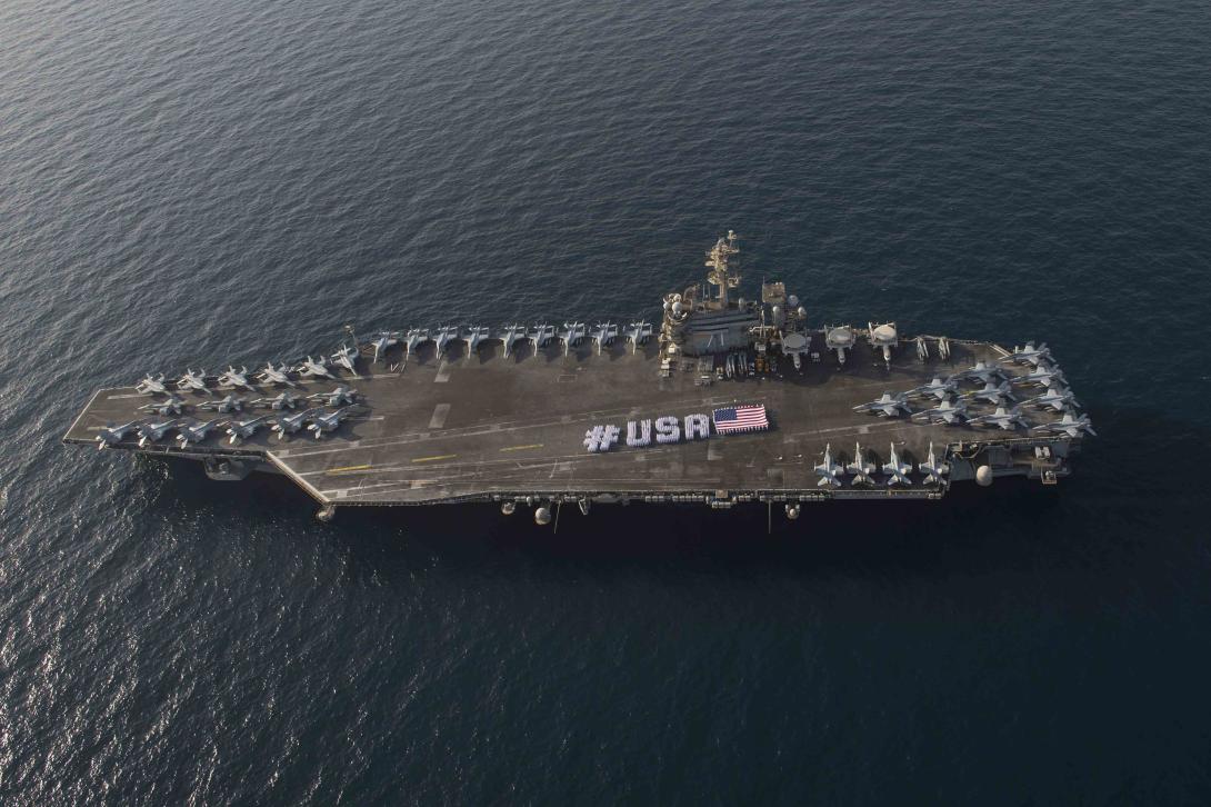
Navy officials agreed it would be helpful to put an expert geospatial analyst on an aircraft carrier headed into the Central Command region, Davis says. “There was a handshake that occurred and an agreement set up between the NGA Military Support and U.S. Fleet Forces [Command] that the NGA would put a ship rider—a geospatial analyst—on the USS Theodore Roosevelt,” he says.
From March through November last year, the analyst sailed aboard the Nimitz-class aircraft carrier with the radio call sign of Rough Rider, the name of President Theodore Roosevelt’s cavalry unit during the Spanish-American War in 1898.
The analyst helped address some of the unique limitations of operating at sea, such as low bandwidth, which makes accessing large data files difficult, explains Capt. Jim Ellis, USN, director of the Navy NST. “One of the primary reasons for putting [the analyst] out there was to see those unique challenges and identify those gaps—and not only gaps from the NGA’s perspective but also gaps on how the NGA might be able to better support the Navy in the future,” Capt. Ellis says.
Officials still are poring over the Theodore Roosevelt’s lessons learned, but one quick fix presented itself, Capt. Ellis points out. “Some of the unique challenges, frankly, deal with the acquisition side of the house and the equipment side of the house in the Navy, such as incompatible website browsers, of all things,” he says.
The solution that emerged from the unprecedented partnership was using Web streaming services, which are faster than downloading large files, Davis says. “That was a key success that the Navy personnel were not aware of … and gave them an avenue to get some data that they were not able to before,” he says.
The analyst accessed a streaming imagery service available through the NGA’s Outside Continental United States (OCONUS) data center, sidestepping complications posed by the low-bandwidth constraints of being at sea. Navy intelligence teams can stream the same imagery they otherwise tried to download—a process that now takes minutes instead of hours, Capt. Ellis explains. “The way the Navy systems work, for example, as it relates to imagery is they have to order the imagery, and the imagery is delivered to them through their architecture. [Web data streaming] is a much quicker process. Suffice it to say, they were able to get access to information within a 30-minute time block rather than sometimes it taking up to multiple hours to get the same kind of information,” he says.
The program’s success has inspired officials to expand the effort, with an NGA analyst now deployed on a second aircraft carrier. “We’re planning on putting one shortly on an amphibious assault ship as well,” Capt. Ellis says. “The main reason for those large decks is because that tends to be where the intel teams operate.”
The program also will serve as a model for other intelligence community partners, expanding on the full-, assisted- and self-service NGA offerings, the captain explains. The agency is growing its “train, coach and mentor” approach that serves as a force multiplier. “We’re trying to get the Navy [intelligence officers] to where they can self-serve their needs by getting that education and training early on in their deployment training cycle, so they can do this themselves and not necessarily have to rely on NGA to provide that level of support,” he says.
The first ship rider had the unique experience of sailing virtually around the world, as the Theodore Roosevelt began its deployment in Norfolk, Virginia, and ended at its new homeport of San Diego, Capt. Ellis shares.
There was a symbiotic relationship between the analyst and the NGA, he adds. “Having [the analyst] out there enabled him to provide information back to the NGA for the NGA to develop faster resolution to some Navy-unique problems and vice versa,” Capt. Ellis says. “Our individual out there was able to educate the strike group on data services that NGA had available that enabled them to gain quicker access to material than using Navy systems alone.”


Comments