President's Commentary: The New Frontier of Geospatial Systems
Innovative uses for geospatial systems are exploding across the government and commercial landscape. What once was largely the purview of military planners and operators now is creating adherents in fields where geospatial systems can help understand the past, comprehend the present and predict the future.
Innovative uses for geospatial systems are exploding across the government and commercial landscape. What once was largely the purview of military planners and operators now is creating adherents in fields where geospatial systems can help understand the past, comprehend the present and predict the future.
Farmers can determine where and when to plant their crops as well as to monitor them for disease or drought. Transportation planners can find more efficient routes that move people under the most ideal conditions. International bankers can use geospatial data to help make investment decisions considering both geographic and economic factors. Nongovernmental organizations already rely extensively on geospatial information for emergency disaster relief. Other geospatial applications include hydrology, census estimates, climate analysis and population migration monitoring, to name a few.
This development is revolutionary, not just evolutionary—in terms of both cause and effect. The pace of technological change, which is being driven largely by the commercial sector, is rapid. The amount of data available from both government and commercial sources is growing at an exponential rate instead of a linear rate. The overwhelming majority of data employed by the National Geospatial-Intelligence Agency (NGA) comes from the private sector. This allows the agency to devote its own specialized resources to classified mission-specific applications.
The result is the democratization of geospatial information. New data are being integrated with traditional geospatial information to produce forms of information, knowledge and understanding that go far beyond previous capabilities. And commercial sources are about to add to the number of geospatial sensors, especially from space. The potential for collecting, processing and analyzing this data ultimately could produce a level of understanding never before envisioned.
It is leading to old disciplines being looked at differently. For example, human geography—tracking people, their habits and their norms—now can be modeled through geospatial systems. Environmental monitoring takes on a new flavor when terrain imagery is combined with data on human effects and other related factors. Economic forecasting can be enhanced by combining visible geographic effects such as industrialization with human trends observed through social media. Proximity brings people together, whereas distance tends to discourage it.
The ability to combine geospatial intelligence (GEOINT) with other INTs is part of the beauty of this revolution, but it also presents a challenge. The challenge emerges directly from the increased amount of data in use. Geospatial systems are producing new products that are data-heavy, and this brings into play all the disciplines that apply to big data.
Most people see only the final product—the multidata geospatial picture. They do not realize the complexity in bringing all this material together in a coherent product. Harvesting understanding and knowledge from that data will test planners and users alike. Many of the complaints about data overload ascribed to other types of intelligence also apply to the new geospatial products.
One overlooked requirement is the work force necessary to bring about successful data fusion. We have not fully created the work force that can meld this diverse information into a common understanding. Both the work force and the user community must be able to recognize global shifts and understand their implications.
Other traditional challenges are emerging. A key to attaining the goal of effective geospatial understanding is to properly integrate diverse data from stovepiped systems. Not only must this data harvesting be accurate, but it also must be timely. Having tools to sort through the information is essential.
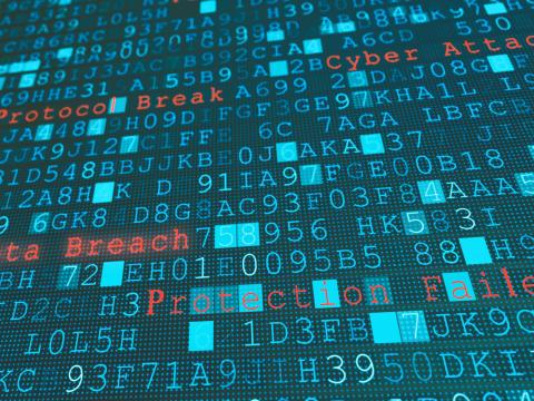
Security is vital, as with any cyber product. Managers, leaders and users must ensure that an adversary does not manipulate a GEOINT product and cause a user to come to a wrong conclusion. Again, the goal is to have the ability to obtain and create understanding with a high level of confidence.
The new capabilities being unleashed by geospatial systems are helping to create a better understanding of global conditions and activities. As with any revolutionary technology, it introduces new challenges to its effective exploitation. Many of those challenges are familiar, but it is up to geospatial providers and the user community to work together to overcome them.
To share or comment on this article go to http://url.afcea.org/April16


Comments