Humanitarians Take to the Skies for Disaster Relief
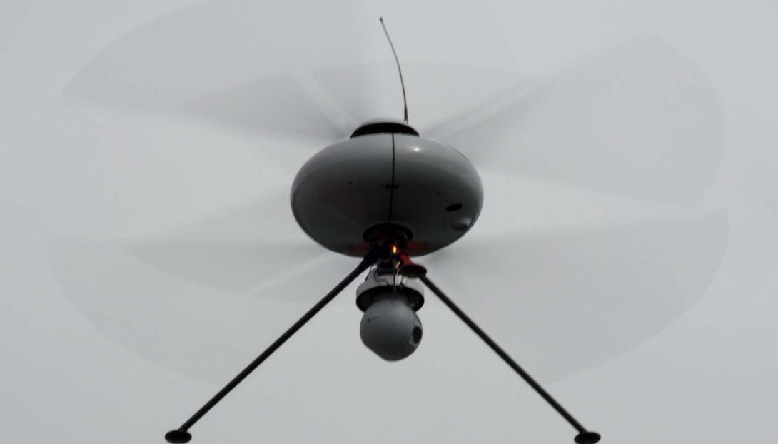
Drones are leaving the battlefield in droves, increasingly taking on non-lethal civilian and humanitarian missions as aid groups and private companies capitalize on technology that not only is more common, but more affordable and manageable.
Red Cross representatives are joining the growing number of organizations researching different ways to exploit for good emerging technologies, from deploying unmanned aerial vehicles (UAVs) to mapping at-risk global regions to delivering vaccinations to isolated areas. The Red Cross is investigating “how we can use them to strengthen our mission of helping people prepare for and respond to disasters and help them cope faster,” said Michele Lynch, manager of International Services for the American Red Cross.
The increased use of UAVs for humanitarian means poses practical, political and ethical questions, prompting the United Nations Office for the Coordination of Humanitarian Affairs (OCHA) to issue an official U.N. policy that addresses transparency of data collected, community engagement and guidelines for privacy and data security. The number of humanitarian, advocacy and national groups actively exploring the use of UAVs for disaster response is increasing, adding to case study research that could prove valuable.
The Red Cross’ Global Dialogue on Emerging Technologies project will test everything from ethics to polices, platforms and devices in four use cases in an effort to field the technologies in the next five to 10 years, Lynch said during a project presentation this week at LMI, a nonprofit government consulting organization that is working on its own research project to deliver pallets of needed supplies for humanitarian purposes.
The different case studies will involve use of UAVs, biometrics, wearable technology and sensors, Lynch said. Other areas that might garner future attention include augmented reality, 3-D printers, robots and smart homes and smart cars.
The Irish Red Cross teamed with academia to lead research into best uses of UAVs to rapidly erect temporary communications infrastructures after a disaster. Researchers will test eight kinds of UAVs from different manufacturers, examining how well platforms perform in various weather conditions and the capacity to quickly assemble communication networks.
The American Red Cross will study use of sensors in the slums of Nairobi that can send alerts to residents’ mobile phones in the event of a fire, giving them time to evacuate, Lynch said.
Planners selected the four case studies after sessions held with community members across the globe, from Buenos Aires to Dublin, London, Nairobi and Seoul, getting input from people who had been impacted by disasters to learn about the biggest challenges they faced and opinions on the use of emerging technologies. “The goal was to get the community perception,” Lynch said. “Were they afraid of these technologies? Did they say, ‘Heck no, we're never going to use these?’ Are they going to be open to them? What were some of their concerns about them?” Participants were surprisingly receptive and excited, Lynch said.
Red Cross researchers will rely also on research done by others, such as Amazon, Google and DHL, which have been experimenting with cargo drones.
Other Red Cross efforts include what is termed risk mapping, or use of aerial photographs to develop detailed maps. Medecins Sans Frontieres/Doctors Without Borders (MSF) teamed with the British Red Cross, the American Red Cross and the Humanitarian OpenStreetMap Team for the Missing Maps Project—and a pledge to develop maps for 100 of the world’s most vulnerable communities.
The effort is recruiting volunteers to map parts of the world most vulnerable to humanitarian crises—places vulnerable to natural disasters, disease outbreaks, epidemics or conflict. “The maps we create will be available to use by everyone, everywhere, benefiting NGOs like MSF and the Red Cross but also local people; helping them to have something so fundamental that most of the world take for granted,” reads a portion of the effort’s website. “To reach our goal, we need the Missing Maps Project to be the biggest instance of digital volunteerism the world has ever seen.” Volunteers are needed to trace features of target locations onto maps, such as road networks, buildings, neighborhood names, lakes and landmarks.
The American Red Cross also teamed UAViators (pronounced you-aviators), an umbrella organization that connects volunteer UAV operators with humanitarian aid groups, and with a group called Measure, a 32 Advisors Company, to study the availability of readily available, or turnkey, aerial solutions for first responders in disaster relief situations, Lynch said.
Red Cross officials also want to examine options to deliver critical relief items to isolated communities, Lynch said. “I have to say, this is the one that has been the slowest to get off the ground. The technology itself, I think, still has a long way to go with the battery and payload capabilities.”
“We are certainly one of many. If we're interested in UAVs, a lot of other countries are too, and we've been really trying to look across the network and see what other national societies are using,” Lynch said.
The U.S. Federal Aviation Administration is drafting regulations for use of UAVs in domestic airspace with a target release in 2017.
The global Red Cross network consists of 189 national societies around the world. “We are very honored to call ourselves the largest humanitarian network, with a presence in every country in the world.”


Comments