IARPA Launches Satellite Imagery Program
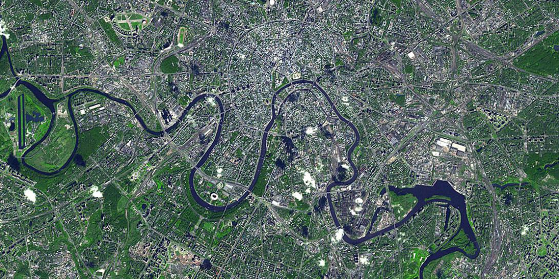
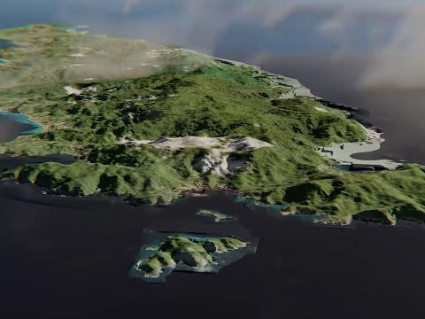
The Intelligence Advanced Research Projects Activity (IARPA), within the Office of the Director of National Intelligence, has established a multiyear research plan to build 3-D models that leverage satellite imagery to support the nation’s military, humanitarian and intelligence missions. The Creation of Operationally Realistic 3-D Environment (CORE3D) program is intended to significantly reduce the time it takes to build 3-D models.
Researchers in academia and industry have attempted to develop ways to capture the 3-D geometry and surface properties of objects on the Earth more efficiently, and the U.S. government has also invested in the development of means to exploit 3-D data, according to IARPA’s broad agency announcement. However, automated methods lag behind manual approaches for creating 3-D models with respect to extracting mission relevant information and understanding scenes.
“Automated methods lag behind manual approaches for creating 3-D models with respect to extracting mission relevant information and understanding scenes,” said CORE3D program manager Hakjae Kim. “While manually constructed models are accurate and reliable, the process to create them is time-consuming and does not satisfy the need for models to support rapid response to military or humanitarian crises in areas where up-to-date models do not exist.”
The CORE3D program aims to develop rapid automated systems for 3-D models designed with complex physical properties and automated methods that will pull commercial, satellite and airborne imagery.
IARPA has awarded research contracts to teams led by Applied Research Associates, General Electric, Kitware and Vision Systems, Inc.


Comments