The Achilles’ Heel Factor in Every Flight
After the 2022 full scale invasion of Ukraine GPS navigation system’s vulnerabilities have become increasingly evident. Its employment in the military is creating a liability, and in civil aviation, it is a growing risk.
Following a series of incidents concentrated in, but not limited to, Europe, the U.S. Federal Aviation Administration issued an alert in early 2024.
GPS is the most widely used mechanism that employs satellites to locate surface, land and air assets around the globe. Other systems with similar functions are Europe’s Galileo, Russia’s Globalnaya Navigazionnaya Sputnikovaya Sistema, China’s BeiDou and regional networks, including Japan’s and India’s.
In 2024, GPS spoofing incidents increased by 500% year-over-year, according to Ops Group, an aviation security organization. An estimated 1,500 flight navigation systems per day are spoofed, according to a report by this entity.
“The topic of GPS jamming or spoofing is not new. It is a global issue, which needs to be managed with all the main stakeholders,” said Kristi Tucker, external communications senior manager at Airbus, an aircraft manufacturer.
In the immediate future, as attacks proliferate, the civil aviation industry must strengthen what is available.
“Keep working on GPS hardening and resilience, for sure, but [do] not treat it as a fix,” said Egon Rinderer, chief technology officer at Shift5, a data-driven solutions integrator. “They need real-time awareness to alert the pilots to the problem when it’s happening so that they can take action,” Rinderer added and suggested the delay between attack and full awareness among pilots or other stakeholders should take no more than 30 seconds.
The path forward is far from clear, even though there are already estimates of the economic size of this disruption.
The total GPS device market is expected to grow from $109 billion in 2024 to an estimated $472 billion in 2034, according to Precedence Research, a market research firm. This figure illustrates the explosive trend but is not limited to civil aviation as it includes all applications beyond aircraft, as well as the auto industry and other civil activities.
Still, aircraft have systems in place to continue operating in case GPS malfunctions.
“Upon detection of an event by the aircraft systems or the flight crew, Airbus aircraft are all fully equipped with resilient navigation systems, independent from GPS,” Tucker explained.
Civil aircraft include VHF omnidirectional range (VOR), a ground-based radio navigation system for short-range navigation. VOR transmits radio signals from a fixed station, providing directional bearings to the pilot and allowing them to determine their position relative to the station. The system is widely used for en route navigation and guiding aircraft during the approach and departure phases. VOR offers high reliability and has been a cornerstone of aviation navigation for decades.
Distance measuring equipment is a complementary system often paired with VOR to provide distance information. It measures the time it takes for a radio signal to travel from the aircraft to a ground-based transponder and back. This determines the precise distance from the station, which is central for calculating position, especially during approaches and holding patterns. The equipment is commonly integrated with other navigation systems to enhance accuracy.
The instrument landing system (ILS) is a precision approach system that helps guide aircraft to the runway during landing, particularly in poor visibility conditions. The ILS uses two separate signals: one for lateral guidance (localizer) and another for vertical guidance (glideslope). These signals ensure the aircraft follows the correct descent path and remains aligned with the runway. The ILS is vital for safe landings, especially at major airports where adverse weather conditions can challenge visibility and navigation.
Aircraft also include an inertial navigation system, an onboard device that operates independently of external signals. It uses a combination of gyroscopes, accelerometers and magnetometers to track the aircraft’s position, velocity and orientation based on its last known coordinates.
“In addition, air traffic controllers could follow the aircraft positions via their radar systems,” Tucker told SIGNAL Media.
The innovation pipeline has many new technologies.
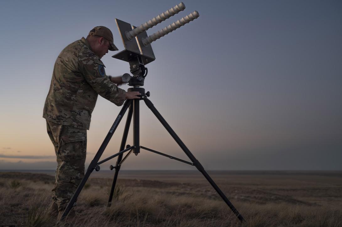
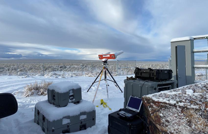
The World Magnetic Model (WMM) is a tool for navigation and positioning systems that relies on the Earth’s magnetic field. Developed by the National Oceanic and Atmospheric Administration and the British Geological Survey, the WMM is used by organizations like the U.S. Department of Defense and NATO for accurate guidance in GPS-denied environments.
This model must be updated every five years to account for changes in the Earth’s magnetic field. “There are early systems that utilize this in use today and a number of interesting startups,” Rinderer told SIGNAL Media.
Muometric navigation systems use cosmic-ray muons to navigate in environments where GPS signals are obstructed, including underground, underwater, or indoors. These particles, generated by cosmic rays in the Earth’s atmosphere, penetrate deep into materials. By detecting muons with multiple detectors, the system can calculate precise positions. This method is particularly useful in places where traditional navigation systems fail, offering a new solution for applications like underground mining or indoor robotics. Its accuracy surpasses GPS in challenging environments.
“This one is a world-changer. Unjammable, unspoofable,” Rinderer said. While its development is in the infant stages, “whoever cracks it is going to make a lot of money,” Rinderer added.
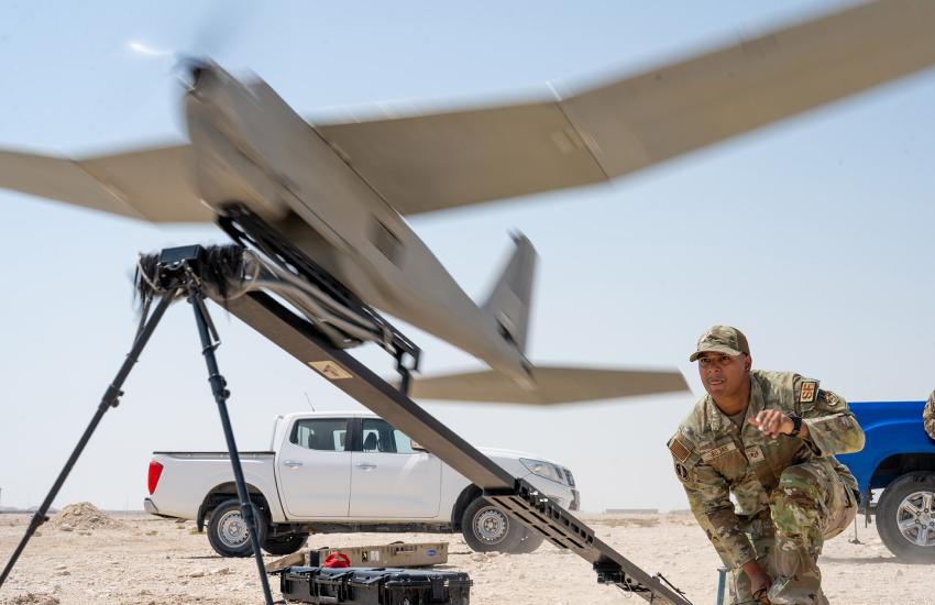
But how GPS-reliant systems find their targets in environments where electronic warfare (EW) and jamming devices abound, like the frontlines in southwestern Russia or eastern Ukraine, is through artificial intelligence.
Loitering munitions, which are self-guided missiles, use computer vision to identify and engage targets autonomously. Equipped with cameras and algorithms, these munitions can detect, track and attack specific targets without human intervention. This interaction allows for precision strikes even in complex or GPS-denied environments. However, it also raises concerns about errors in target identification and ethical issues surrounding autonomous decision-making in warfare. These systems are at the forefront of discussions on the future of autonomous weapons.
Beyond this application, civilian use cases are limited.
“While not suitable as a primary navigation in most cases, it is a great fallback,” Rinderer explained.
The attack in 2014 on Malaysian Airlines Flight MH17 above Hrabove in eastern Ukraine prompted authorities around the world to evaluate flight paths. Since then, civil aviation operating near conflict areas lists mistargeting as its primary concern.
EW and GPS jamming emerged as a greater concern in the new stage of the Russo-Ukrainian war after 2022. Now, all stakeholders are working toward a reliable solution.
“Airbus is in constant contact with its operators, who report spoofing events to analyze the effects and provide recommendations and mitigations. These recommendations and mitigations include flight crew procedures updates, communications through webinars, answers to frequently asked questions and updates during regular symposiums with our operators,” Tucker said.
Despite investments and the arrival of new players, the civil aviation industry says the tools currently in use have a proven track record that is hard to match.
“Satellite navigation is an extremely helpful tool for flight operations, and it makes air navigation much more flexible,” Tucker said.


Comments