NATO Tests AI Capabilities Within Geospatial Intelligence

NATO is currently testing eight different artificial intelligence (AI) models within its classified network to determine the possibility of offering geospatial intelligence (GEOINT) as a service.
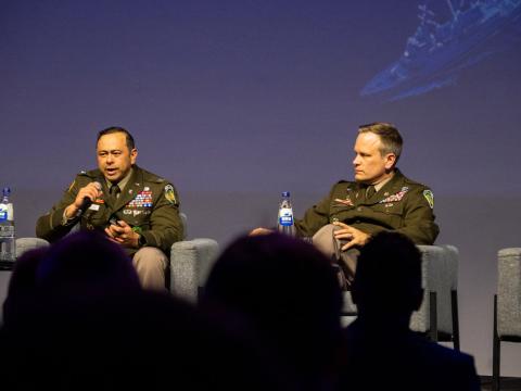
“Whether it’s as a service or as a product, we want to make sure that there is always traceability of any piece of element [and] piece of information that is being processed by an AI system,” said Giuseppe Nobile, head of Geo & Space Services Section at NATO Headquarters.
It is essential that tags and references to a leveraged AI system remain, he explained.
“For instance, when we will generate in the future, a GEOINT report which has been supported [or] assisted by an AI system, we would consider referring to it as a GEOINT AI assessment,” or GAIA, Nobile said.
The space data expert also spoke on an AI-ready geographic information system, or GIS, which he said his team had invested in three years ago. The capability had tested the graphics processing units (GPU) power in the back end, Nobile stated.
While vetting and selecting AI tools is important, it is also crucial to ensure the workforce is trained and equipped to understand the emerging technology. “You need to get that level of expertise. Training is fundamental,” Nobile emphasized.
He also mentioned NATO’s work with Esri and BlackSky to combine drone imagery with satellite imagery into a twin model to assess situations on the ground. The capability, named ArcGIS, which according to Esri’s website is a “suite of photogrammetry software product,” turns drone and aerial imagery into “highly accurate” maps and 3D models.
Nobile’s office, he said, is testing and prototyping the product. Still, even the most powerful tools require the right data, he stressed.
“When we see the synthetic model that has been built on the fly and dynamically by the software, you can see the possibilities of how first responders can actually [make] decisions based on these visuals,” Nobile added.
Finally, the NATO speaker discussed the potential of quantum technology specifically regarding GEOINT.
“[Quantum] definitely can accelerate a lot of the processing,” he stated. “I got news today from my back-end server manager saying that we extracted and processed our worldwide coverage of 3D-based maps, [which] we will serve now to analysts on our classified network,” Nobile shared.
With some of the most advanced computing technology at hand, that process took six days and nine hours to complete, he added. With the help of quantum technology, however, that time could be significantly reduced.
TechNet International is organized by AFCEA Europe, AFCEA International's European office. SIGNAL Media is the official media of AFCEA International.


Comments